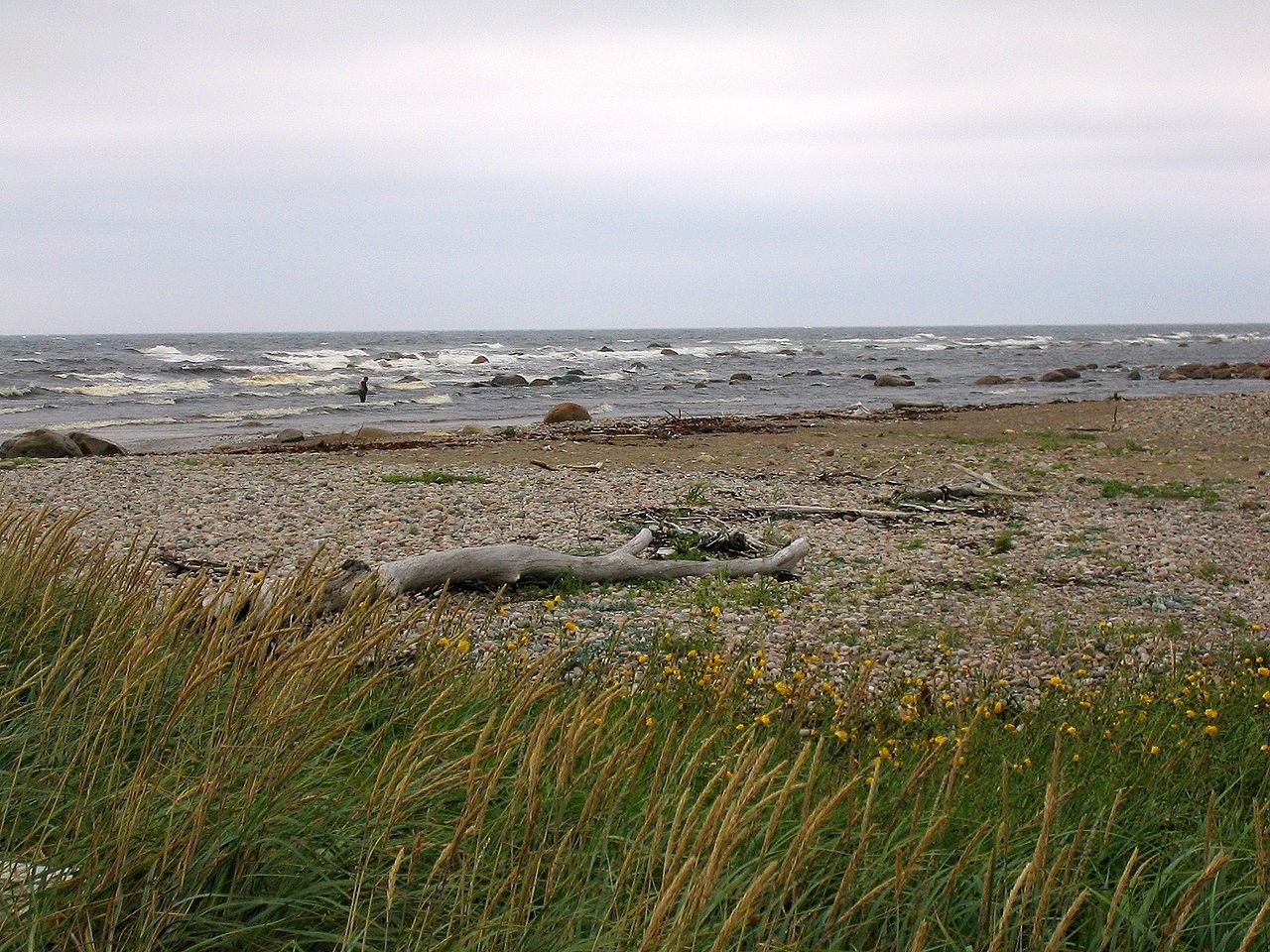
Summers are mild, not hot — August averages around 20°C by day — and rain is possible in any month; the region averages roughly 1,500 mm of precipitation a year. Pack layers and rain gear regardless of season, and expect fog to be a regular part of coastal weather.
Key takeaways
- August is the warmest month, averaging around 20°C by day; February is the coldest, averaging around -4°C by day and roughly -12°C at night.
- Rain falls in every month; May and June are the driest, September and December the wettest.
- The Labrador Current and the Gulf Stream meet near here, which is part of why fog is a regular feature of the coast.
- Even a sunny forecast at Deer Lake can look different at an exposed coastal viewpoint or mountain summit — check conditions locally, not just a general forecast.
Month by month
Summer (late June through September) is the most reliable season for hiking and boat tours, with daytime highs typically in the mid-teens to low twenties Celsius. Spring (April–May) and fall (October) are cooler and wetter, with more variable trail conditions. Winter is genuinely cold and snowy, with average highs well below freezing from December through February.
Pack for layers, not a single forecast
Rain gear and warm layers matter even on days that start clear — coastal weather changes quickly, and exposed viewpoints and summits are noticeably colder and windier than town. See our hiking guide for trail-specific advice, and our rainy-day guide for indoor backup options if a stretch of poor weather sets in.
Fog is normal here, not a bad sign
The cold Labrador Current and the warmer Gulf Stream meet off this coast, which contributes to regular fog, especially in spring and early summer. It can obscure coastal viewpoints without meaning the day is a washout elsewhere — inland and forested trails are often unaffected.
Last updated: August 2, 2026 · Editorial team