Visiting the Tablelands
A walk on bare mantle rock on the south side of Bonne Bay, and how to fit it into a day from Rocky Harbour.
Updated November 13, 2026
The Tablelands Trail is a 4 km return walk that Parks Canada rates easy, at 1–2 hours. The trailhead is 4 km west of the Discovery Centre in Woody Point on Route 431, about 1 hr 5 min by car from Rocky Harbour. There's no road across Bonne Bay, so treat it as a south-side day, not a quick stop.
What you're walking on
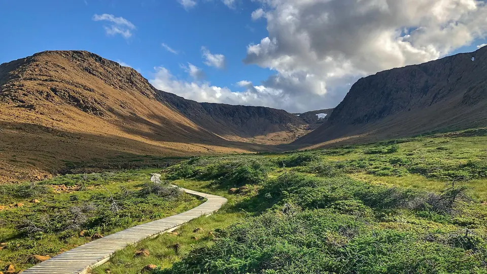
The Tablelands are a flat-topped mountain of bare, orange-brown rock on the south side of Bonne Bay. The rock is peridotite from the Earth's mantle, pushed up onto the edge of the continent around 470 million years ago as an ancient ocean closed. Few plants can grow in it, which is why the slopes look like a desert next to the green hills around them. Our research summary explains how geologists worked this out, and the glossary entry has the short version.
The trail
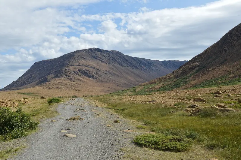
Parks Canada describes the main trail as an old roadbed that skirts the base of the mountain, with broad views and unusual plants and rocks along the way. It ends in the glacially carved Winter House Brook Canyon. For a shorter walk, take the Serpentine Loop. Stay on the trail where you can: the plants that grow here are small and rare.
Parks Canada runs guided interpretive hikes from this trailhead in summer. Ask at a park facility, such as the Discovery Centre, for the schedule.
Getting there from Rocky Harbour
Drive south on Route 430 to the Wiltondale junction, then west on Route 431 past Woody Point. The trailhead is 4 km west of the Discovery Centre. The south side guide covers the whole route.
| Starting from | Drive to the trailhead |
|---|---|
| Rocky Harbour | about 1 hr 5 min |
| Norris Point | about 1 hr 10 min |
| Woody Point | about 5 min |
Drive times are approximate car times worked out with OSRM routing on OpenStreetMap road data (router.project-osrm.org) on November 12–13, 2026, rounded up to the next 5 minutes. They assume dry roads and no stops; fog, moose and road work add time.
Without a car for that leg, the seasonal BonTours water taxi crosses between Norris Point and Woody Point in about 15 minutes. It doesn't carry vehicles, and the trailhead is 4 km beyond the Discovery Centre, so you'd still need a ride from the dock.
See it from the water
BonTours' catamaran tour leaves from Norris Point and goes out on Bonne Bay, with the Tablelands across the water.
Build the rest of the day
- The Discovery Centre in Woody Point covers the region's geology, and the Lookout Trail (5.8 km loop, 2–3 h, moderate) starts from its parking lot.
- Green Gardens (9 km return, 3–4 h, moderate) heads down to the coast. Parks Canada calls getting to the coast and back a half-day hike.
- Trout River, at the end of Route 431, is the fishing village on Trout River Pond.
Trail figures are from Parks Canada's Gros Morne hiking page. Our hiking guide compares them with the trails near town.
Questions
How long is the Tablelands Trail?
Parks Canada lists it as 4 km return, rated easy, taking 1–2 hours with 88 m of elevation gain. The Serpentine Loop branches off for a shorter walk.
How far is the Tablelands from Rocky Harbour?
There is no road across Bonne Bay, so you drive south to Wiltondale and west on Route 431. That is about 1 hr 5 min to the trailhead by OSRM routing.
Do I need a park pass for the Tablelands?
Yes. Parks Canada requires a park pass for all activities in Gros Morne National Park, and the Tablelands Trail is inside the park.